


Summary (English)
The 2018 excavations continued the exploration of the eastern quarter of the city in zone QE 3000 and completed the work in the zone of trenches 1-3/17 in the area outside the kiln and that at the crossroads formed by roads QE12/13 and QE-SE3.
In this season’s trenches, traces were found of the first phase of urban organisation in the south-eastern part of the East quarter (phase 1) for the first time, characterised by a deep ravine, which divided the terrace in this period. The data from the 2017 trenches placed this phase in the second half of the 3rd and the 2nd century B.C.Following the destruction and abandonment of the first settlement there was substantial reorganisation of the entire zone with the construction of road QE12/13 and the junction with QE-SE3 (phase 2). There was a clear attempt to consolidate the easternmost part of the ravine/torrent with the construction of a terracing wall, which however failed, as attested by the traces of an imposing mudslide in the 1st century B.C. The discovery of numerous fragments of iron slag suggest that this phenomenon also compromised the production and working of iron in this area, documented in 2015 in zone QE 2015.
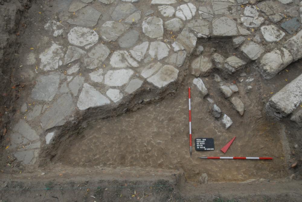
In the following years (phase 3), the situation was consolidated with the construction of a channel FQE 3022, guaranteeing regular drainage, until the arrival of ash from the eruption of Vesuvius in 79 A.D., which radically altered the situation. The suggestion that the earlier destructions of road QE12/13 were connected with the earthquake of 62 A.D. remains a hypothesis.
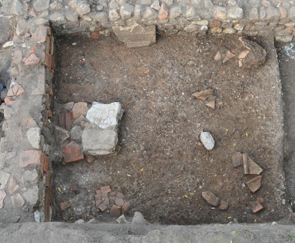
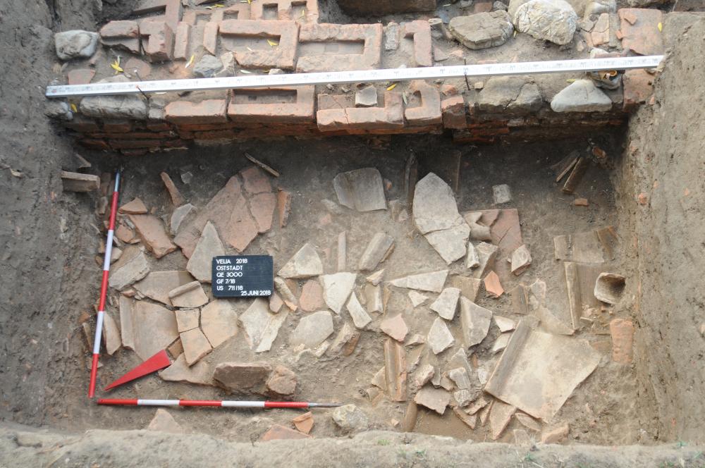
At the beginning of the 2nd century A.D., the quarter was again reorganised (phase 4) with the construction of a large building, which, according to the results of the geophysical survey, could be a reconstructed as a large complex with a sizable courtyard, surrounded by colonnades on three sides, perhaps a public building. In the late 2nd – beginning of the 3rd century A.D., this building, only a small area of which was investigated, met a sudden end, as attested by almost intact ceramic vessels, large tile fragments and, on the western side of the supposed portico, a tile collapse.
Following this event, the area clearly went into decline, as indicated by a burial, but also by layers of brick/tile and animal bones. The only building activity was the construction of a large brick-making kiln (FQE 3003) that was only in use for a short period. The few material finds attest late antique occupation of the area, with clear traces in zone QE 2000 found during the 2015 and 2016 campaigns.
- Regina Klingraber-Università di Vienna
Director
- Verena Gassner- Università di Vienna, Istituto di Archeologia Classica
Team
- Angelo d’Angiolillo-Ascea
- Herbert Böhm
- Lukas Kerbler-Università di Vienna
- Regina Klingraber- -Università di Vienna
- Irina Huller-Università di Vienna
Research Body
- Università di Vienna, Istituto di Archeologia Classica
Funding Body
- Progetto del FWF (P 28 156-G025) “Urbanistic studies in the eastern quarter of Velia” e dell’ Istituto di Archeologia Classica, Università di Vienna
![[PDF]](download.php?file=8206.jpg "Download")
![[PDF]](download.php?file=8207.jpg "Download")
![[PDF]](download.php?file=8208.jpg "Download")
![[PDF]](download.php?file=8209.jpg "Download")