


Summary (English)
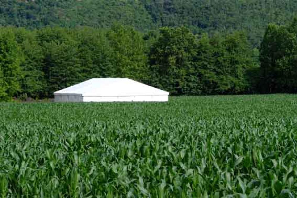
The Lucone di Polpenazze is one of the best preserved basins of lacustral origin which are scattered across the amphitheatre of glacial morain around Garda. Research has identified five areas (A, B, C, D, E) which probable correspond to palafitte settlements. Of these Lucone A and D were excavated, whilst the others are known through surveys and occasional finds.
The Lucone basin, following a late Neolithic phase represented by Lucone C, was occupied continuously throughout the early Bronze Age and in some zones during the beginning of the middle Bronze Age. In the late middle Bronze Age there was a notable reduction in the size of inhabited areas (part of Lucone A). In the late Bronze Age the basin seems to be abandoned, whilst in the late middle Bronze Age several settlements appear on the surrounding morainic hills. In an advanced phase of the late Bronze Age a plateau developed facing the nearby inframorainic basin of Bottenago, the town of Castilì – Monte Guarda di Castrezzone (BS).
The need to check the excavation undertaken in 1986, which was the object of large scale clandestine digging, led to a new excavation in 2005 (area Lucone D).
Once the excavation was re-opened, the wooden structures previously identified and still in situ were digitally recorded and then partially re-sampled. An attempt was also made to recover some of the wooden structures, including a probable roof beam.
Two trenches (1 × 1m) were dug starting from the old excavation area. The stratigraphic sequence was, beginning from the agricultural soil: a layer of whitish silt with abundant inclusions of molluscs, a silty layer rich in ashes and charcoal, a structure in burnt clay, a dark brown/black silty layer. In the trench to the south below the whitish layer was: a brown silty layer, a large deposit of stones and baked clay, a layer of burning, a layer of peat (first settlement phase). It is above this layer that most of the horizontal partly burnt wooden remains, also identified in the north trench, are present. (Raffaella Poggiani Keller, Marco Baioni)
Director
- Marco Baioni - Civico Museo Archeologico della Valle Sabbia
Team
- Angelo Lando - Associazione “Gruppo Grotte Gavardo”
- Carlo Pettini - Associazione “Gruppo Grotte Gavardo”
- Claudio Maccarinelli - Associazione “Gruppo Grotte Gavardo”
- Eligio Labigalini - Associazione “Gruppo Grotte Gavardo”
- Gabriele Bocchio - Associazione “Gruppo Grotte Gavardo”
- Giampaolo Gratton - Associazione “Gruppo Grotte Gavardo”
- L. Cajola - Associazione “Gruppo Grotte Gavardo”
- Livio Palamidese - Associazione “Gruppo Grotte Gavardo”
- Nicola Martinelli
- Piercarlo Spinelli - Associazione “Gruppo Grotte Gavardo”
- Raffaella Poggiani Keller - Soprintendenza Beni Archeologici della Lombardia
- Associazione “Gruppo Grotte Gavardo”
Research Body
- Museo Archeologico della Valle Sabbia - Gavardo
- Soprintendenza per i Beni Archeologici della Lombardia
Funding Body
- Ministero per i Beni e le Attività Culturali
![[PDF]](download.php?file=3227.jpg "Download")